Gilgit Baltistan Map
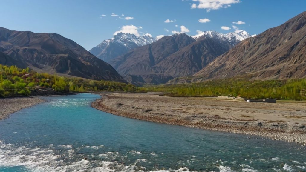
The beautiful region of Gilgit-Baltistan is situated in the northern areas of Pakistan. The region is formerly known as the Northern Areas of Pakistan. Moreover, the region is managed by Pakistan and is a self-government territory. Gilgit-Baltistan remained a disputed territory between Pakistan and India because the region forms the northern portion of the larger Kashmir region. The region is bordered by Azad Kashmir in the South, Khyber Pakhtunkhwa in the West, Afghanistan Wakhan border in the North and Xinjiang, China in the East, and Jammu and Kashmir and Ladakh are in the southeastern region.
Gilgit-Baltistan individual administrative entity:
The territory of Gilgit-Baltistan became an individual administrative entity with the name of ‘Northern Areas’ in 1970. The region was renamed ‘Gilgit-Baltistan’ in 2009. With an intention to empower the people of the region, an order was signed by former president Asif Ali Zardari. It was the Self-Governance Order which granted limited autonomy to the region.
GB Surroundings:
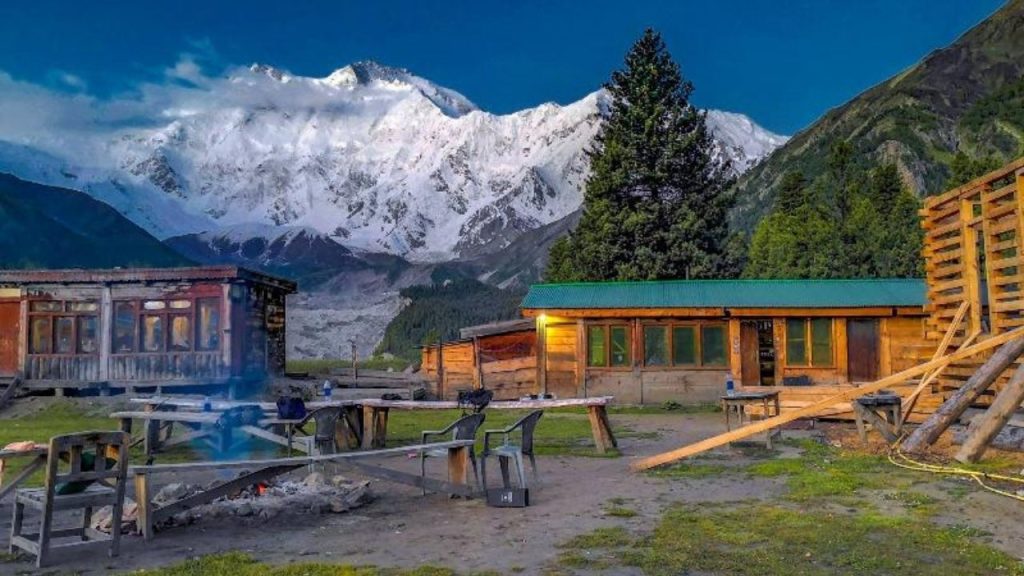
The Gilgit-Baltistan region is surrounded by a lot of mountains including the second-highest peak in the world, K-2. In addition to this, there are five eight-thousander peaks among the fourteen that are present in this region. The total area of the region is around 72, 971 kilometers square. There are basically three administrative divisions in the region including Gilgit, Baltistan and Diamer. These divisions are further divided into fourteen districts.

Baltistan Division of Gilgit-Baltistan
The Baltistan division has five districts including Ghanche, Shigar, Kharmang, Skardu and Rondu. The capital of the Baltistan division is Skardu. Skardu covers an area of 8,700 square kilometers of the Baltistan division. The district is bounded by Ghanche, Kharmang, Astore,Rondu and Shigar districts on the east, south, west, north-west, and north respectively. Moreover, the famous picnic spots in the district include the Shangrila resort, Upper Kachura Lake, Lower Kachura Lake, Sheosar Lake, etc. Major towns in the Skardu district are Hussainabad, Mehdiabad, Qumarah, Rondu, Satpara, Sermik and Skardu.
Ghanche district:
The Ghanche district is in the easternmost part of the region with an area of 4,052-kilometersquare. The administrative headquarters of the districts are situated in ‘Khaplu’ which is among the most famous scenic places in the region. The district is a well-known tourist destination in Pakistan due to the mesmerizing landscapes and scenic views. The headquarters of Pakistan Army brigades are also located in the Ghanche district. The Ghanche district is divided into three tehsils including the Khaplu, Daghoni, and Masharbrum tehsils. These tehsils are further divided into 56 union councils. There is a very famous and historic tourist destination in the district known as the Khaplu fort. Each year hundreds of people visit the place to see the beautiful scenery there.
Shigar District:
The next district in the Baltistan division is Shigar. The total area of the district is around 8,500
square kilometers. The district is bounded by Nagar and Hunza, Ghanche, Rondu, and Gilgit
districts on the north, south-east, south-west, and west respectively. Shigar district was part of
the Skardu district until 2015. It was established as a separate district in 2015. The district is
home to Pakistan’s highest peak, K-2.
Kharmang District:
Kharmang is also among the fourteen districts of Gilgit-Baltistan territory administered by Pakistan. The district is bordered by the Skardu, Ghanche, Kargil, and Astore districts to the north, north-east, south, and west respectively. The headquarters of the Kharmang district islocated at Tolti. The total area of the Kharmang district is 5,500 kilometers square. The beautifulKharmang valley is among the five main valleys located in the Baltistan division.The fifth district in the Baltistan division is Rondu situated in the western region. Rondu district was created in 2019; previously it was part of the Skardu district. The headquarters of thedistrict is Dambudas town located in the middle of the Rondu valley. The distance between Skardu and Rondu district is around 65-70 kilometers.
Gilgit Division of Gilgit-Baltistan

Second division of the Gilgit-Baltistan region is Gilgit. The Gilgit division is further divided into five districts including Gilgit, Ghizer, Hunza, Nagar, and Gupis-Yasin. The capital of the division isGilgit district. The district covers an area of 14,672 square kilometers. The district is bordered by the Nagar, Shigar, Diamer, and Ghizer districts on the north, south, east, and west respectively. The headquarters of the district is Gilgit town. The district is further divided into three tehsils
including Danyor, Gilgit, and Jutial.
Ghizer District:
Ghizer is the next district of the Gilgit division covering an area of 9,635 kilometers square. The current Ghizer district was established in 2019. Previously, the Ghizer district comprised the entire Gilgit River Valley. The district is bounded by the Upper Chitral district and Wakhan district, Hunza district, and Tangir district on the north, east, and south respectively. The district is divided into two tehsils including Ishkoman and Punial. The capital of the district is Gahkuch.
Hunza District:
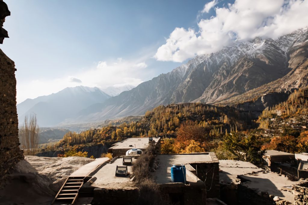
The Hunza district is also among the fourteen districts of the Gilgit-Baltistan region. The district covers an area of 7,900 kilometers square. Hunza district was formed in 2015 as a result of the Hunza-Nagar district division. The town of Karimabad is the headquarters of the district. The capital of the district is Aliabad.
Nagar District:
The next district in the Gilgit division is Nagar which covers an area of 5,000 square kilometers. Nagar district was also established in 2015 as a result of the Hunza-Nagar district division. The district is bounded by the Hunza, Shigar, Gilgit, and Gupis-Yasin districts on the north, south-east, south, and west. The Nagarkhas town is the headquarters of the district. The district is divided into two tehsils including Tehsil Nagar-I and Tehsil Nagar-II. The capital of the district is Nagar.
Gupis-Yapis District of Gilgit Baltistan:
Gupis-Yapis is the fifth district of the Gilgit division created in 2019. The district is bounded by Upper Chitral district, Ghizer district, and the Swat district on the West, east, and south respectively. The capital of the district is Phander. The district is divided into three tehsils including Gupis, Phander, and Yasin tehsils.

Diamer Division of Gilgit-Baltistan
The Diamer division of the Gilgit-Baltistan region is divided into four districts including Diamer, Astore, Darel and Tangil. The capital of the division is Chilas. Diamer is the district of the division covering an area of 10,936 square kilometers. The headquarters of the district is Chilas. The district is bordered by Tangir, Astore, and Naran districts on the north, east and south respectively.
Astore District:
Next is the Astore district with an area of around 5,092 square kilometers. The headquarters of the district is located in Eidgah town. 250 square kilometers square of the total area of the district is covered by glaciers. The district is bounded by Gilgit, Rondu, Skardu, Kharmang, and Diamer districts on the north, northeast, east, southeast, and west respectively.
Darel District:
The Darel district of the division was formed in 2019. Prior to this, it was a tehsil of the Diamer district. The district is bounded by Ghizer, Gilgit, Diamer, and Upper Kohistan districts on the north, northeast, east, and south respectively. Moreover, the Tangir district formed in 2019 is located at a distance of 67 kilometers from Chilas. It was also a tehsil of the Diamer district prior
to 2019. The district is bounded by the Gupis-Yasin district, Ghizer district, Darel district, and Upper Kohistan district on the north, north-east, east, and south respectively.
